Geography
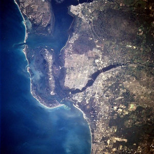
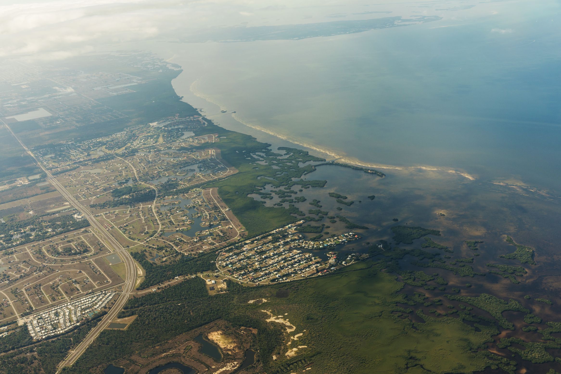
Cape Coral is located at 26°38′23″N, 81°58′57″W (26.639600, -81.982471).
According to the United States Census Bureau, the city has a total area of 115.10 square miles (298.1 km²), making it the second largest in Florida. 105.19 square miles (272.4 km²) of it is land and 9.91 square miles (25.7 km²) of it (8.61%) is water.
The City is divided into Four Quadrants: NW, NE, SW and SE. The East-West Divide is Santa Barbara Blvd., and the North-South divide is Embers Pkwy/Hancock Bridge Pkwy. These are also the centers for the city’s street grid.
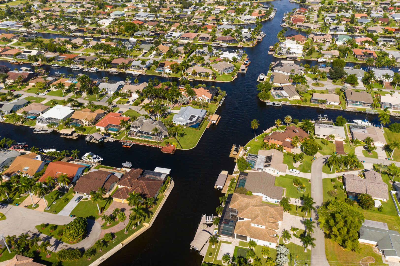
The City contains a large network of canals, some of which lead to the Gulf of Mexico and some to local lakes. Many houses are along the canals, a large number of which have docks or boat lifts. Fish regularly swim the canals, and can be caught with deep running minnow lures. The fish include Crevalle Jack, catfish, Mullet, and others.
The Cape Coral Bridge connects Cape Coral Parkway to College Parkway in Fort Myers. The Midpoint Memorial Bridge connects Veterans Parkway to Colonial Boulevard, also in Fort Myers. Hancock Bridge Parkway, after intersecting Santa Barbara Boulevard, sweeps north to its approximate terminus on Pine Island Road, with the east end of Hancock Bridge Parkway terminating at U.S. Highway 41.


